
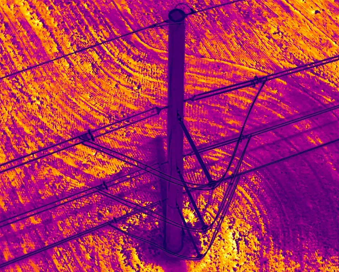
Drone thermography for energy infrastructure
Radiometric thermal inspections led by a Level I certified thermographer. Every thermal finding is paired with a visual image, measured, and explained in plain maintenance language.
- FAA Part 107Certified remote pilot
- Level I ThermographyCertified thermographer
- ISNetworldContractor member
- $2M InsuredLiability coverage, COI on request
Findings that map to your maintenance plan.
- Radiometric spot and area temperatures
- Thermal / visual image pairs per component
- Delta-T based severity ranking
- Observation, impact and recommended action
- Baseline records for trend monitoring
- Load and weather conditions noted per survey
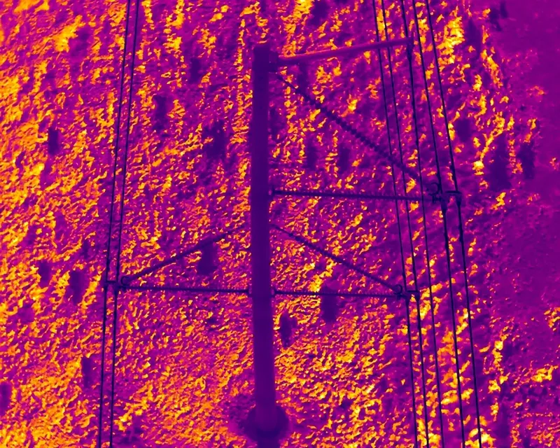
Thermal findings you can verify.
Spot temperatures, paired visual imagery and a written recommendation for every flagged component.
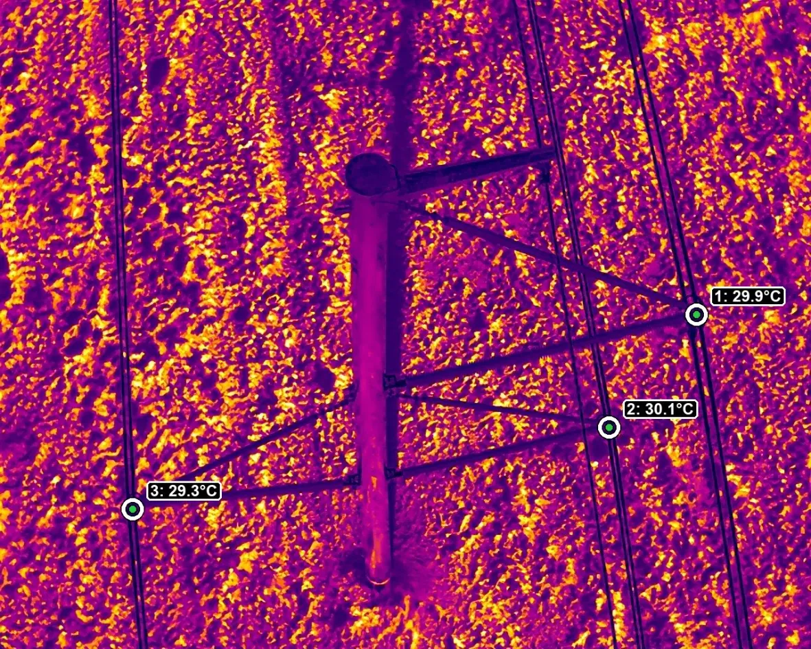
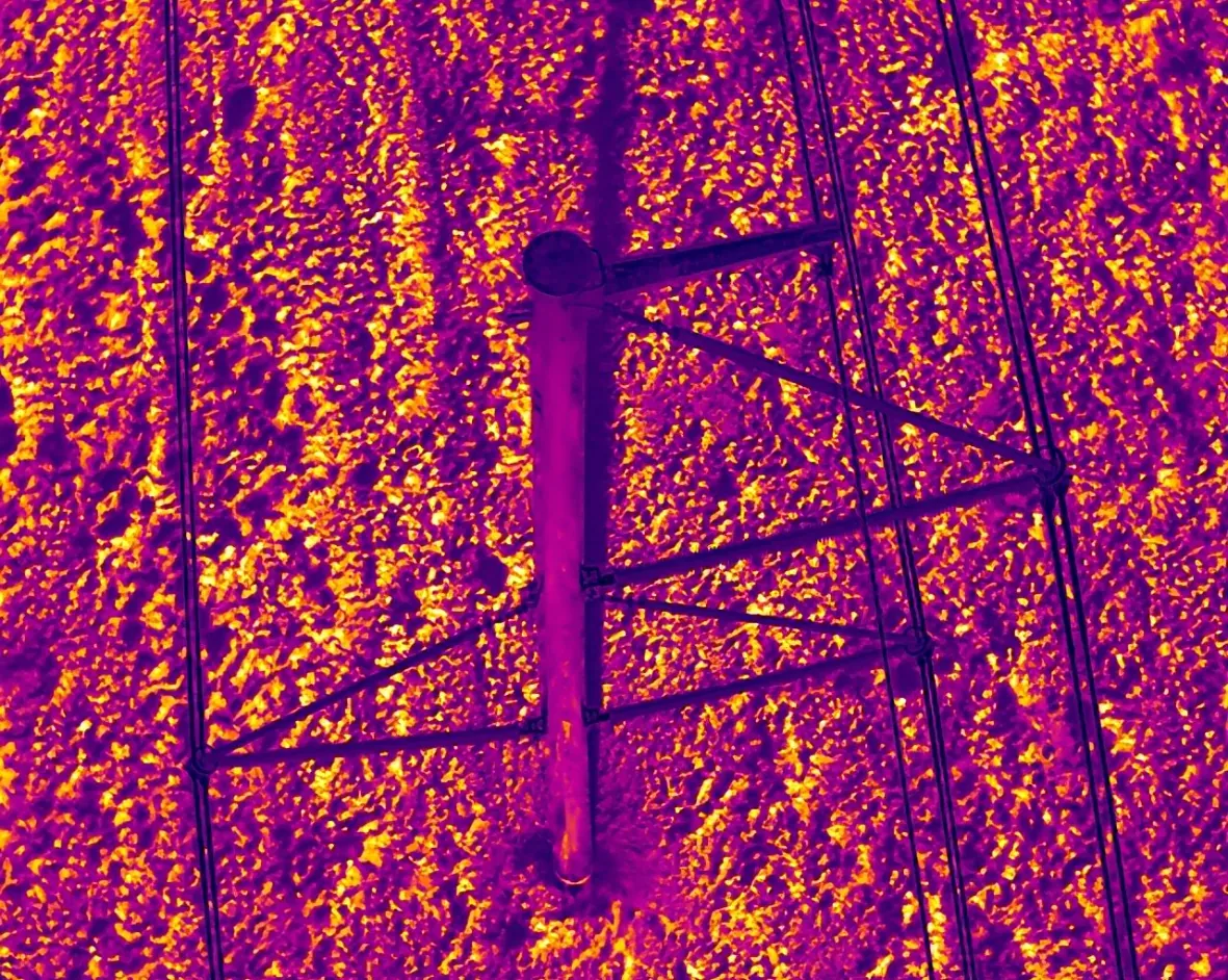 AnalyzedRaw thermal
Examples from Drone Force inspections.
What you receive.
Executive summary
Scope, asset counts and findings by severity at a glance.
Annotated imagery
Visual and thermal images with every defect marked.
GPS & KMZ
Asset-level coordinates and field-ready map files.
Recommended actions
Observation, potential impact and next step per finding.
Drone Thermography: common questions
Who reviews the thermal data?
Thermal findings are reviewed by a Level I certified thermographer with utility and renewable-energy field experience.
Is your thermal data radiometric?
Yes. We fly radiometric thermal sensors so temperatures can be measured after the flight, not just viewed as color images.
Planning an inspection campaign?
Tell us the asset type, count and location. We will come back with a scope, schedule and deliverable package.